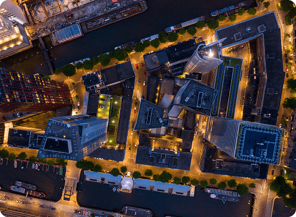
GTA Aerial Rendering Service
When you work with us for an aerial rendering, you get to see space from the sky and confirm your project’s cohesion from every possible angle.
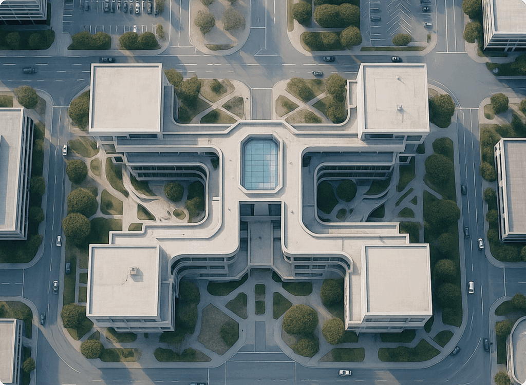
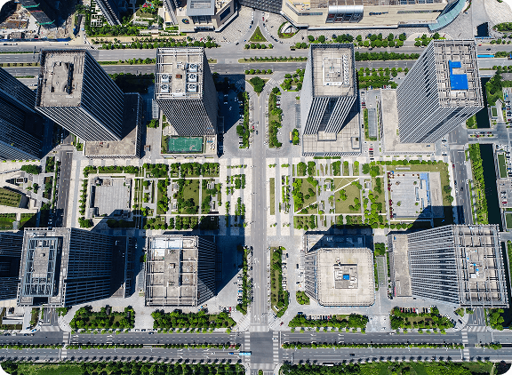
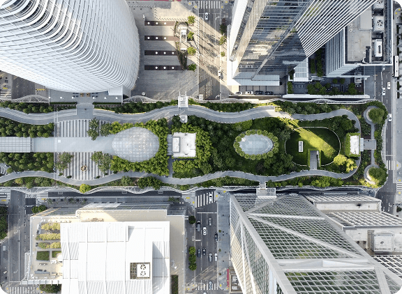
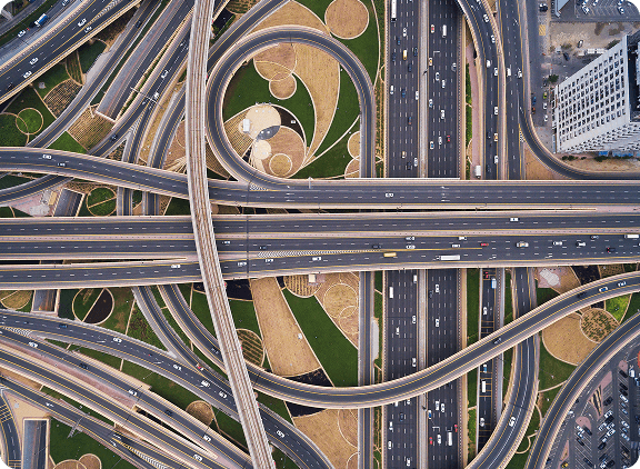
Aerial renderings are a critical asset in the development or construction process, giving stakeholders the ability to comprehensively visualize their project from a perspective that would otherwise be impossible.
Our Approach
The Mixed Bag Solutions team is proud to deliver aerial renderings that tell the full story of your property, with accurate topography and landscaping elements. First, we account for existing surrounding infrastructure. Then, we create a stunning render that provides a realistic impression of project scale and impact.
Let us be your eye in the sky. You can book a free consultation with the Mixed Bag Solutions team on our contact page or by reaching out to us on social media.